
Maryus topographic map
Click on the map to display elevation.
About this map
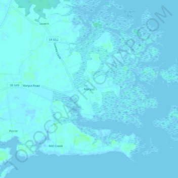
Name: Maryus topographic map, elevation, terrain.
Location: Maryus, Gloucester County, Virginia, 23001, United States (37.25959 -76.42272 37.29959 -76.38272)
Average elevation: 1 m
Minimum elevation: -5 m
Maximum elevation: 8 m
Other topographic maps
Click on a map to view its topography, its elevation and its terrain.
Ware River
United States > Virginia > Gloucester County > Gloucester Courthouse
Average elevation: 3 m