
Ban Mueang Kao topographic map
Interactive map
Click on the map to display elevation.
About this map
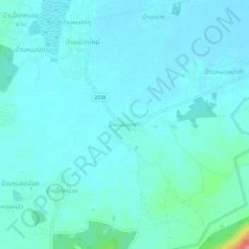
Name: Ban Mueang Kao topographic map, elevation, terrain.
Location: Ban Mueang Kao, Khon Kaen Province, Thailand (16.64648 102.28326 16.68648 102.32326)
Average elevation: 215 m
Minimum elevation: 201 m
Maximum elevation: 315 m