Geolocate

Kalwa topographic map

Click on the map to display elevation.

About this map

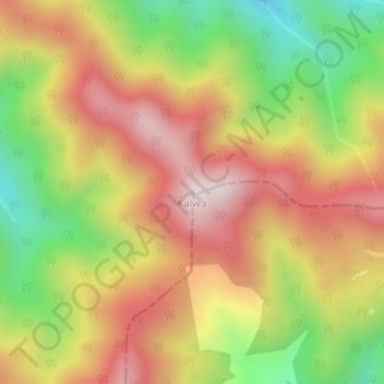
Name: Kalwa topographic map, elevation, terrain.

Location: Kalwa, Dunda, Uttarkashi District, Uttarakhand, India (30.61420 78.44660 30.61430 78.44670)

Average elevation: 2,205 m

Minimum elevation: 1,844 m

Maximum elevation: 2,521 m

Gear up for your next adventure:

🛶Canoe Life Vest - Safety vest for water sports
🧊Insulated Water Bottle - Keeps drinks cold in summer and prevents freezing in winter
🧴Waterproofing Spray - Restore the DWR coating on jackets and tents
🦶Anti-Blister Balm - Prevents friction and hotspots during long ascents
🧦Thermal Socks - Warm socks for winter hiking or camping

As an Amazon Associate, this site earns from qualifying purchases at no extra cost to you.