Geolocate

Massive topographic map

Click on the map to display elevation.

About this map
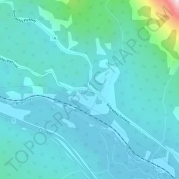
Name: Massive topographic map, elevation, terrain.

Location: Massive, Division No. 15, Alberta, Canada (51.21608 -115.79844 51.23608 -115.77844)

Average elevation: 1,469 m

Minimum elevation: 1,395 m

Maximum elevation: 2,010 m

Gear up for your next adventure:

⛺Tent Footprint - Protect tent floor and increase durability
🧢Sun Protection Cap - Breathable cap to protect from sun exposure
🗺️Topographic Maps - Detailed maps to explore trails, mountains, and wilderness areas
🛶Kayak Accessories - Essential gear for safe and fun kayaking adventures
🧢Outdoor Cap - Protective cap for sun and rain during hikes

As an Amazon Associate, this site earns from qualifying purchases at no extra cost to you.