
Halen topographic map
Interactive map
Click on the map to display elevation.
About this map
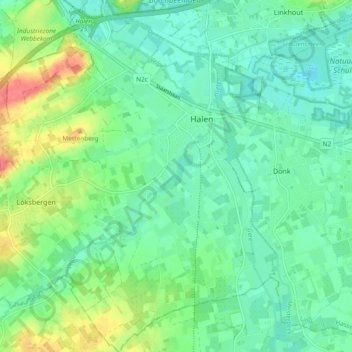
Name: Halen topographic map, elevation, terrain.
Location: Halen, Hasselt, Limbourg, Flandre, Belgique (50.90898 5.04151 50.96773 5.13435)
Average elevation: 30 m
Minimum elevation: 13 m
Maximum elevation: 68 m