
Altstadt topographic map
Interactive map
Click on the map to display elevation.
About this map
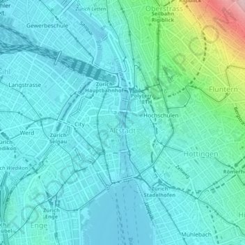
Name: Altstadt topographic map, elevation, terrain.
Location: Altstadt, Zurich, District Zurich, Zurich, 8001, Switzerland (47.36321 8.52921 47.38297 8.55080)
Average elevation: 441 m
Minimum elevation: 401 m
Maximum elevation: 657 m