
Ataun topographic map
Interactive map
Click on the map to display elevation.
About this map
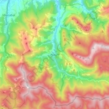
Name: Ataun topographic map, elevation, terrain.
Location: Ataun, Goyerri, Guipúzcoa, País Vasco, 20211, España (42.93511 -2.21941 43.02024 -2.09524)
Average elevation: 552 m
Minimum elevation: 180 m
Maximum elevation: 974 m