Geolocate

Villa Sol topographic map

Click on the map to display elevation.

About this map

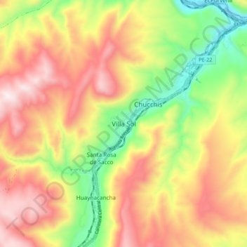
Name: Villa Sol topographic map, elevation, terrain.

Location: Villa Sol, Santa Rosa de Sacco, Yauli, Junín, Perú (-11.59563 -75.98873 -11.51563 -75.90873)

Average elevation: 4,124 m

Minimum elevation: 3,700 m

Maximum elevation: 4,521 m

Gear up for your next adventure:

🥾Hiking Shoes - Durable and comfortable shoes for trail hiking
🛌Insulated Sleeping Pad - Critical thermal barrier between you and the cold ground
Lightweight Camping Tent - Portable shelter optimized for Canadian backcountry camping
🔋Lithium AA Batteries - Long-lasting power that performs in extreme cold
🧴Insect Repellent - Protect yourself from bugs during outdoor adventures

As an Amazon Associate, this site earns from qualifying purchases at no extra cost to you.