Geolocate

Douglas topographic map

Click on the map to display elevation.

About this map

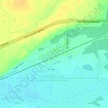
Name: Douglas topographic map, elevation, terrain.

Location: Douglas, Rural Municipality of Elton, Manitoba, R7A 5Y5, Canada (49.88278 -99.72100 49.90278 -99.70100)

Average elevation: 378 m

Minimum elevation: 368 m

Maximum elevation: 393 m

Rural Municipality of Elton trails, hiking, mountain biking, running and outdoor activities

Gear up for your next adventure:

🥾Trail Running Boots - Durable shoes designed for trail running
🛏️Sleeping Bag - Warm and compact sleeping bags for outdoor camping
🥾Trail Hiking Shoes - Durable shoes designed for rugged trails
🦶Hiking Shoe Insoles - Added support for high arches and long days on feet
🧥Softshell Hiking Jacket - The perfect balance of wind protection and breathability

As an Amazon Associate, this site earns from qualifying purchases at no extra cost to you.