
Lange Terril topographic map
Interactive map
Click on the map to display elevation.
About this map
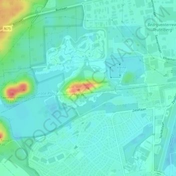
Name: Lange Terril topographic map, elevation, terrain.
Location: Lange Terril, Dilsen-Stokkem, Maaseik, Limburg, 3630, België (51.00311 5.68920 51.00321 5.68930)
Average elevation: 44 m
Minimum elevation: 30 m
Maximum elevation: 99 m
Other topographic maps
Click on a map to view its topography, its elevation and its terrain.
Lanklaar
België > Limburg > Maaseik > Dilsen-Stokkem
Lanklaar, Dilsen-Stokkem, Maaseik, Limburg, Vlaanderen, België
Average elevation: 42 m