
Kelurahan Lambale topographic map
Interactive map
Click on the map to display elevation.
About this map
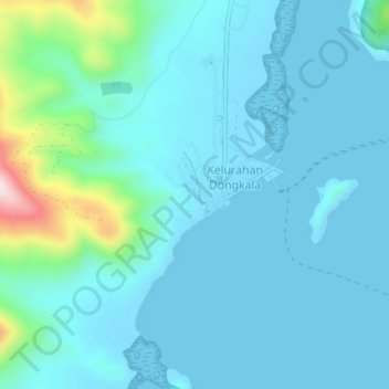
Name: Kelurahan Lambale topographic map, elevation, terrain.
Location: Kelurahan Lambale, Sulawesi du Sud-Est, Indonésie (-5.34007 122.02128 -5.30007 122.06128)
Average elevation: 53 m
Minimum elevation: 0 m
Maximum elevation: 396 m