Geolocate

Marsboro topographic map

Click on the map to display elevation.

About this map

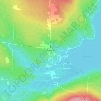
Name: Marsboro topographic map, elevation, terrain.

Location: Marsboro, Marston, Le Granit, Estrie, Quebec, Canada (45.53061 -70.96656 45.57061 -70.92656)

Average elevation: 441 m

Minimum elevation: 394 m

Maximum elevation: 539 m

Le Granit trails, hiking, mountain biking, running and outdoor activities

Gear up for your next adventure:

🔦LED Flashlight - Powerful and long-lasting flashlight for camping and emergencies
🛏️Sleeping Bag - Warm and compact sleeping bags for outdoor camping
🧣Evaporative Cooling Towel - Beat the heat during intense summer climbs
🚑Survival Whistle - Signal for help across long distances in mountains
🥾Approach Boots - Comfortable boots for hiking and climbing approaches

As an Amazon Associate, this site earns from qualifying purchases at no extra cost to you.