
Tarraleah topographic map
Interactive map
Click on the map to display elevation.
About this map
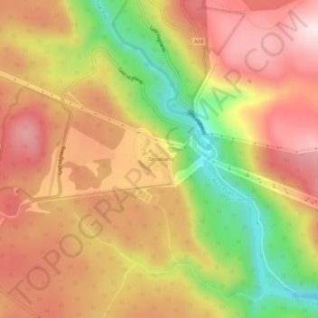
Name: Tarraleah topographic map, elevation, terrain.
Location: Tarraleah, Tasmanie, Australie (-42.32096 146.42977 -42.28096 146.46977)
Average elevation: 564 m
Minimum elevation: 321 m
Maximum elevation: 738 m