
Tambillos topographic map
Interactive map
Click on the map to display elevation.
About this map
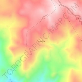
Name: Tambillos topographic map, elevation, terrain.
Location: Tambillos, Provincia de Lucanas, Ayacucho, Perú (-14.90322 -73.96144 -14.86322 -73.92144)
Average elevation: 4,056 m
Minimum elevation: 3,711 m
Maximum elevation: 4,271 m