Geolocate

Capalangan topographic map

Click on the map to display elevation.

About this map
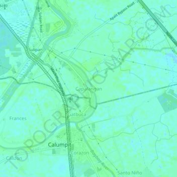
Name: Capalangan topographic map, elevation, terrain.

Location: Capalangan, Apalit, Pampanga, Central Luzon, 3003, Philippines (14.90780 120.75048 14.94780 120.79048)

Average elevation: 5 m

Minimum elevation: 1 m

Maximum elevation: 7 m

Other topographic maps

Click on a map to view its topography, its elevation and its terrain.

Sulipan

Philippines > Pampanga > Apalit

Average elevation: 4 m

Tabuyuc

Philippines > Pampanga > Apalit

Average elevation: 5 m

Gear up for your next adventure:

🔥Emergency Fire Starter - Reliable ignition source for all weather conditions
🚲Handlebar Phone Mount - View topographic-map.com live while cycling
🧼Biodegradable Camp Soap - Environmentally friendly cleaning for gear and body
🧣Evaporative Cooling Towel - Beat the heat during intense summer climbs
🌬️Windproof Camp Stove - Efficient cooking even on exposed mountain peaks

As an Amazon Associate, this site earns from qualifying purchases at no extra cost to you.