Geolocate

Binulasan topographic map

Click on the map to display elevation.

About this map

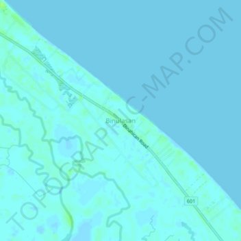
Name: Binulasan topographic map, elevation, terrain.

Location: Binulasan, Infanta, Quezon, Calabarzon, 4336, Philippines (14.71294 121.67678 14.75294 121.71678)

Average elevation: 2 m

Minimum elevation: -2 m

Maximum elevation: 12 m

Other topographic maps

Click on a map to view its topography, its elevation and its terrain.

Agos River

Philippines > Quezon > Infanta > Pinaglapatan

Average elevation: 1 m

Agos River

Philippines > Quezon > Infanta > Pinaglapatan

Average elevation: 1 m

Gear up for your next adventure:

🥾Light Hiking Boots - Lightweight and comfortable boots for day hikes
🐕Hiking Dog Pack - Let your canine companion carry their own water and food
🥾Approach Boots - Comfortable boots for hiking and climbing approaches
💧Hydration Bladder - Hands-free hydration solution for long treks
🦯Trekking Poles - Reduced impact on joints for steep topographic climbs

As an Amazon Associate, this site earns from qualifying purchases at no extra cost to you.