
Valle Real topographic map
Interactive map
Click on the map to display elevation.
About this map
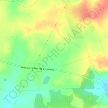
Name: Valle Real topographic map, elevation, terrain.
Location: Valle Real, Valverde de Mérida, Badajoz, Extremadura, España (38.91011 -6.25084 38.93011 -6.23084)
Average elevation: 297 m
Minimum elevation: 271 m
Maximum elevation: 323 m