
Gunung Argopuro topographic map
Interactive map
Click on the map to display elevation.
About this map
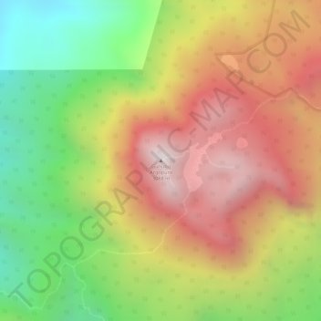
Name: Gunung Argopuro topographic map, elevation, terrain.
Location: Gunung Argopuro, Probolinggo, Jatim, Indonésie (-7.96445 113.56628 -7.96435 113.56638)
Average elevation: 2,644 m
Minimum elevation: 2,152 m
Maximum elevation: 3,071 m