
穆村镇 topographic map
Interactive map
Click on the map to display elevation.
About this map
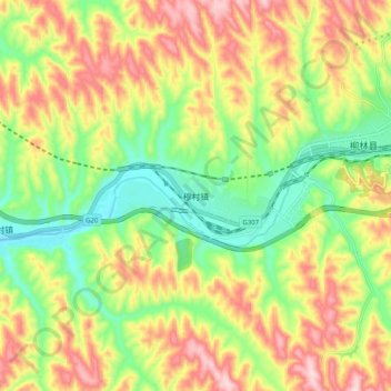
Name: 穆村镇 topographic map, elevation, terrain.
Location: 穆村镇, 柳林县, 吕梁市, 山西省, 中国 (37.37900 110.80000 37.45900 110.88000)
Average elevation: 877 m
Minimum elevation: 736 m
Maximum elevation: 1,043 m
Other topographic maps
Click on a map to view its topography, its elevation and its terrain.