Geolocate

Raga topographic map

Click on the map to display elevation.

About this map

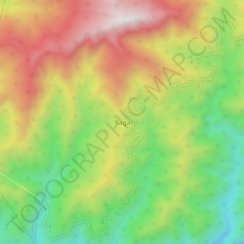
Name: Raga topographic map, elevation, terrain.

Location: Raga, Raga ADC, Kamle, Arunachal Pradesh, India (27.63683 93.90930 27.95683 94.22930)

Average elevation: 1,205 m

Minimum elevation: 127 m

Maximum elevation: 2,550 m

Gear up for your next adventure:

🧣Merino Neck Gaiter - Protects against wind, sun, and cold at high altitudes
🧥Softshell Jacket - Windproof and breathable jacket for hiking
🥾Trail Running Shoes - Lightweight and durable shoes for trail running
🧦Merino Wool Socks - Moisture-wicking comfort for long-distance hiking
💧Reusable Water Bottle - Durable water bottles for hydration on trails

As an Amazon Associate, this site earns from qualifying purchases at no extra cost to you.