
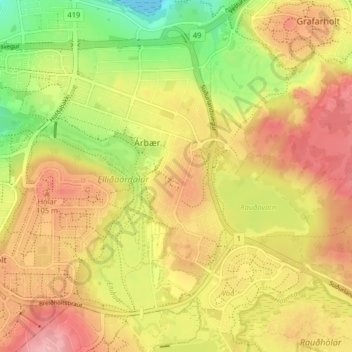
Árbær topographic map
Interactive map
Click on the map to display elevation.
About this map
Name: Árbær topographic map, elevation, terrain.
Location: Árbær, Reykjavik, Capital Region, 110, Iceland (64.09472 -21.84037 64.12711 -21.75925)
Average elevation: 78 m
Minimum elevation: 0 m
Maximum elevation: 140 m
Other topographic maps
Click on a map to view its topography, its elevation and its terrain.