
Hariharapura topographic map
Interactive map
Click on the map to display elevation.
About this map
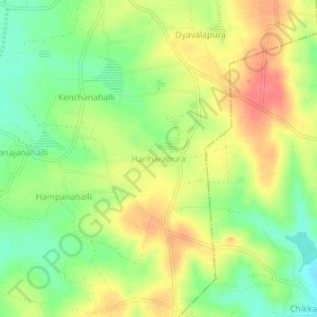
Name: Hariharapura topographic map, elevation, terrain.
Location: Hariharapura, Hasana taluk, Hassan district, Karnataka, Inde (13.01361 76.25098 13.05361 76.29098)
Average elevation: 946 m
Minimum elevation: 915 m
Maximum elevation: 976 m