
Western topographic map
Click on the map to display elevation.
About this map
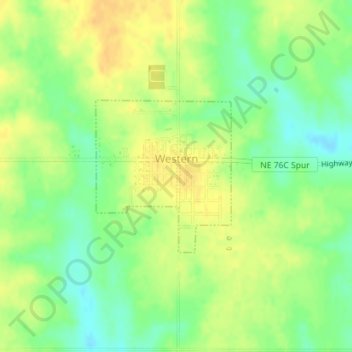
Name: Western topographic map, elevation, terrain.
Location: Western, Saline County, Nebraska, United States (40.38642 -97.20624 40.39811 -97.19258)
Average elevation: 449 m
Minimum elevation: 433 m
Maximum elevation: 462 m