
حضرت سلطان topographic map
Interactive map
Click on the map to display elevation.
About this map
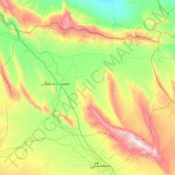
Name: حضرت سلطان topographic map, elevation, terrain.
Location: حضرت سلطان, Samangan, Afghanistan (36.29482 67.73138 36.58578 68.22071)
Average elevation: 1,071 m
Minimum elevation: 393 m
Maximum elevation: 2,429 m