
Stara Zagora topographic map
Interactive map
Click on the map to display elevation.
About this map
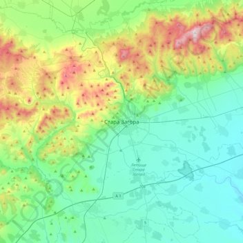
Name: Stara Zagora topographic map, elevation, terrain.
Location: Stara Zagora, Oblast de Stara Zagora, 6000, Bulgarie (42.26481 25.46575 42.58481 25.78575)
Average elevation: 311 m
Minimum elevation: 119 m
Maximum elevation: 895 m