
‘Arīs topographic map
Interactive map
Click on the map to display elevation.
About this map
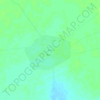
Name: ‘Arīs topographic map, elevation, terrain.
Location: ‘Arīs, Ghubaysh, Kordofan de l’Ouest, Soudan (12.12999 27.93797 12.16999 27.97797)
Average elevation: 503 m
Minimum elevation: 497 m
Maximum elevation: 506 m