
Pearl's Hill City Park topographic map
Interactive map
Click on the map to display elevation.
About this map
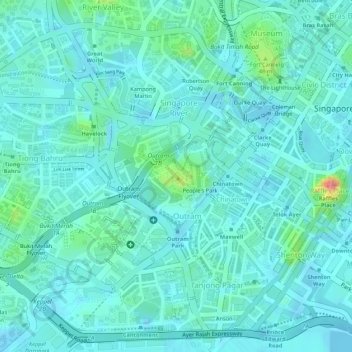
Name: Pearl's Hill City Park topographic map, elevation, terrain.
Location: Pearl's Hill City Park, Outram, Singapore, Central, Singapore (1.28265 103.83810 1.28671 103.84174)
Average elevation: 18 m
Minimum elevation: -7 m
Maximum elevation: 97 m
Other topographic maps
Click on a map to view its topography, its elevation and its terrain.