

Arrah topographic map
Click on the map to display elevation.
Arrah
Arrah is located at the elevation of 192 m from the sea level at the bank of Son river, Ganga River and Gangi River. Arrah lies at the confluence of the Ganga and the Son River, other small rivers that flow in the town are Gangi River, Badki Nadi and Chhotki Nadi.
About this map
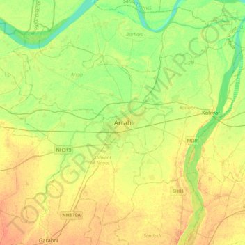
Name: Arrah topographic map, elevation, terrain.
Location: Arrah, Bhojpur, Bihar, 802300, India (25.40032 84.50321 25.72032 84.82321)
Average elevation: 59 m
Minimum elevation: 43 m
Maximum elevation: 73 m