
Thank you for supporting this site ❤️
Make a donation
Make a donation
Gear up for your next adventure:
As an Amazon Associate, this site earns from qualifying purchases at no extra cost to you.
Pentes topographic map
Click on the map to display elevation.
Thank you for supporting this site ❤️
Make a donation
Make a donation
Gear up for your next adventure:
As an Amazon Associate, this site earns from qualifying purchases at no extra cost to you.
About this map
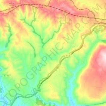
Name: Pentes topographic map, elevation, terrain.
Location: Pentes, A Gudiña, Viana, Ourense, Galice, 32547, Espagne (41.99491 -7.23366 42.07927 -7.14098)
Average elevation: 897 m
Minimum elevation: 663 m
Maximum elevation: 1,172 m
Thank you for supporting this site ❤️
Make a donation
Make a donation
Gear up for your next adventure:
As an Amazon Associate, this site earns from qualifying purchases at no extra cost to you.