Geolocate

Santa Clara topographic map

Click on the map to display elevation.

About this map

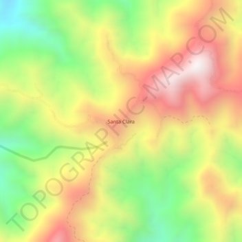
Name: Santa Clara topographic map, elevation, terrain.

Location: Santa Clara, Fundación, Magdalena, Colombia (10.43837 -73.92786 10.47837 -73.88786)

Average elevation: 1,230 m

Minimum elevation: 654 m

Maximum elevation: 1,795 m

Gear up for your next adventure:

💧Filtered Water Bottle - Safe drinking water on the go
🥾Light Trekking Boots - Supportive boots for multi-day treks
💧Hydration Bladder - Hands-free hydration solution for long treks
🥾Approach Shoes - Shoes designed for climbing approaches and rugged trails
🪜Heavy Duty Carabiners - Multi-use clips for securing gear to your backpack

As an Amazon Associate, this site earns from qualifying purchases at no extra cost to you.