
Lantarón topographic map
Click on the map to display elevation.
About this map
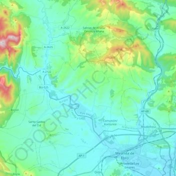
Name: Lantarón topographic map, elevation, terrain.
Location: Lantarón, Cuadrilla de Añana, Álava, País Vasco, España (42.70366 -3.14760 42.79212 -2.92612)
Average elevation: 580 m
Minimum elevation: 451 m
Maximum elevation: 1,171 m
Other topographic maps
Click on a map to view its topography, its elevation and its terrain.