Geolocate

Kolar Dam topographic map

Click on the map to display elevation.

About this map

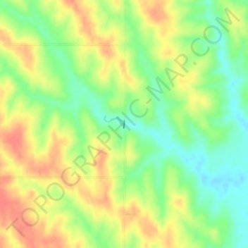
Name: Kolar Dam topographic map, elevation, terrain.

Location: Kolar Dam, Howard County, Nebraska, 68882, United States (41.37062 -98.42007 41.37144 -98.41997)

Average elevation: 589 m

Minimum elevation: 561 m

Maximum elevation: 616 m

Gear up for your next adventure:

🥾Trail Hiking Socks - Comfortable socks to prevent blisters and fatigue
🐕Hiking Dog Pack - Let your canine companion carry their own water and food
🧥Waterproof Pants - Keep dry during rainy hiking conditions
Lightweight Camping Tent - Portable shelter optimized for Canadian backcountry camping
👖Convertible Hiking Pants - Zip-off legs to adapt to changing weather conditions

As an Amazon Associate, this site earns from qualifying purchases at no extra cost to you.