
Torrey topographic map
Interactive map
Click on the map to display elevation.
About this map
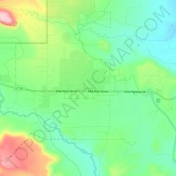
Name: Torrey topographic map, elevation, terrain.
Location: Torrey, Wayne County, Utah, 84773, United States (38.27974 -111.44047 38.31974 -111.40047)
Average elevation: 2,089 m
Minimum elevation: 2,016 m
Maximum elevation: 2,230 m