
Sehol Peniel topographic map
Interactive map
Click on the map to display elevation.
About this map
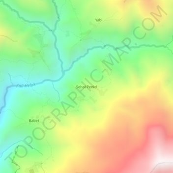
Name: Sehol Peniel topographic map, elevation, terrain.
Location: Sehol Peniel, Yahukimo, La Papouasie, Indonésie (-4.37631 139.31208 -4.33631 139.35208)
Average elevation: 2,326 m
Minimum elevation: 1,811 m
Maximum elevation: 3,039 m