
Thank you for supporting this site ❤️
Make a donation
Make a donation
Gear up for your next adventure:
As an Amazon Associate, this site earns from qualifying purchases at no extra cost to you.
Cruces topographic map
Click on the map to display elevation.
Thank you for supporting this site ❤️
Make a donation
Make a donation
Gear up for your next adventure:
As an Amazon Associate, this site earns from qualifying purchases at no extra cost to you.
About this map
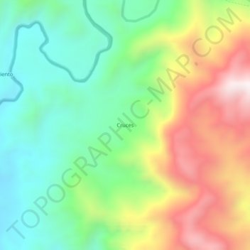
Name: Cruces topographic map, elevation, terrain.
Location: Cruces, Urrao, Suroeste, Antioquia, Colombia (6.45183 -76.31401 6.49183 -76.27401)
Average elevation: 1,265 m
Minimum elevation: 913 m
Maximum elevation: 1,823 m
Thank you for supporting this site ❤️
Make a donation
Make a donation
Gear up for your next adventure:
As an Amazon Associate, this site earns from qualifying purchases at no extra cost to you.