
Grafton topographic map
Click on the map to display elevation.
About this map
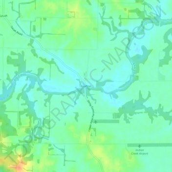
Name: Grafton topographic map, elevation, terrain.
Location: Grafton, Posey County, Indiana, United States (37.98143 -87.97420 38.02143 -87.93420)
Average elevation: 120 m
Minimum elevation: 107 m
Maximum elevation: 149 m