Geolocate

Morgans Point Resort topographic map

Click on the map to display elevation.

About this map

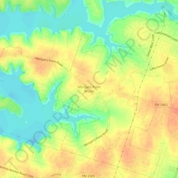
Name: Morgans Point Resort topographic map, elevation, terrain.

Location: Morgans Point Resort, Bell County, Texas, United States (31.12823 -97.48334 31.16823 -97.44334)

Average elevation: 201 m

Minimum elevation: 176 m

Maximum elevation: 223 m

Gear up for your next adventure:

🧢Outdoor Visor - Breathable visor for sunny hikes
🧼Travel Hand Sanitizer - Keep hands clean when water is scarce
💡LED Camping Lantern - Illuminate your campsite with long-lasting lanterns
🧥Thermal Fleece Jacket - Versatile insulation for changing mountain temperatures
🔭Compact Monocular - One-handed bird watching and trail spotting

As an Amazon Associate, this site earns from qualifying purchases at no extra cost to you.