Geolocate

Lauscha topographic map

Click on the map to display elevation.

About this map

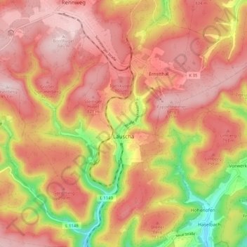
Name: Lauscha topographic map, elevation, terrain.

Location: Lauscha, Landkreis Sonneberg, Thuringia, Germany (50.45019 11.10672 50.50641 11.20688)

Average elevation: 732 m

Minimum elevation: 528 m

Maximum elevation: 849 m

Gear up for your next adventure:

🦶Hiking Shoe Insoles - Added support for high arches and long days on feet
🔦LED Headtorch - Bright and durable light for night activities
🛶Waterproof Dry Bags - Keep electronics and clothes dry during river crossings
🛁Quick-Dry Microfiber Towel - Space-saving towel that dries rapidly on the move
🥾Trail Hiking Socks - Comfortable socks to prevent blisters and fatigue

As an Amazon Associate, this site earns from qualifying purchases at no extra cost to you.