
Lac Sauvageau topographic map
Interactive map
Click on the map to display elevation.
About this map
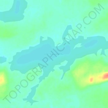
Name: Lac Sauvageau topographic map, elevation, terrain.
Location: Lac Sauvageau, Caniapiscau, Côte-Nord, Québec, Canada (53.83020 -68.68522 53.85521 -68.60694)
Average elevation: 560 m
Minimum elevation: 551 m
Maximum elevation: 596 m