
Calhoun topographic map
Click on the map to display elevation.
About this map
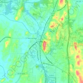
Name: Calhoun topographic map, elevation, terrain.
Location: Calhoun, Gordon County, Georgia, 30701, United States (34.46259 -84.99105 34.54259 -84.91105)
Average elevation: 206 m
Minimum elevation: 182 m
Maximum elevation: 276 m