Geolocate

Cedillo topographic map

Click on the map to display elevation.

About this map

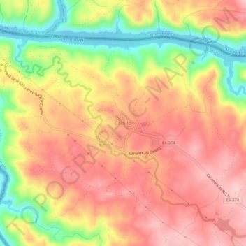
Name: Cedillo topographic map, elevation, terrain.

Location: Cedillo, Valencia de Alcántara, Cáceres, Extremadura, España (39.63177 -7.52016 39.67177 -7.48016)

Average elevation: 230 m

Minimum elevation: 111 m

Maximum elevation: 310 m

Gear up for your next adventure:

🧥Ultralight Puffy Jacket - Maximum warmth that packs down to the size of an orange
Family Camping Tent - Spacious tent suitable for family camping trips
💡LED Camping Lantern - Illuminate your campsite with long-lasting lanterns
🧭GPS Handheld Device - Reliable GPS navigation for outdoor adventures
🔥Camping Stove - Portable stoves to cook outdoors with ease

As an Amazon Associate, this site earns from qualifying purchases at no extra cost to you.