
Sebt topographic map
Interactive map
Click on the map to display elevation.
About this map
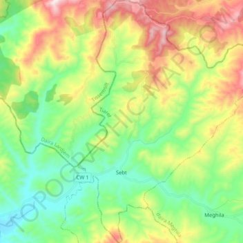
Name: Sebt topographic map, elevation, terrain.
Location: Sebt, daïra Meghila, Tiaret, Algérie (35.58160 1.32357 35.71136 1.43816)
Average elevation: 670 m
Minimum elevation: 395 m
Maximum elevation: 1,156 m