Geolocate

Cartelle topographic map

Click on the map to display elevation.

About this map

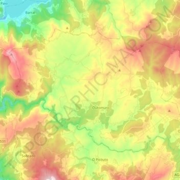
Name: Cartelle topographic map, elevation, terrain.

Location: Cartelle, Terra da Celanova, Ourense, Galicia, Spain (42.19225 -8.11370 42.28278 -7.93524)

Average elevation: 396 m

Minimum elevation: 69 m

Maximum elevation: 776 m

Other topographic maps

Click on a map to view its topography, its elevation and its terrain.

San Roque de Crespos

Spain > Galicia > Terra da Celanova

Average elevation: 365 m

Gear up for your next adventure:

🛰️Satellite Messenger - Emergency communication for areas with no cell service
🧤Insulated Winter Gloves - Heavy-duty protection for sub-zero Canadian adventures
🥾All-Terrain Hiking Boots - Versatile boots for varied hiking conditions
🥾Hiking Boots - Sturdy boots providing ankle support and traction on rugged trails
🥾Hiking Gaiters - Protect legs and shoes from mud, snow, and debris

As an Amazon Associate, this site earns from qualifying purchases at no extra cost to you.