Geolocate

Coldău topographic map

Click on the map to display elevation.

About this map

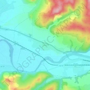
Name: Coldău topographic map, elevation, terrain.

Location: Coldău, Beclean, Bistrița-Năsăud, 425101, Romania (47.16199 24.11353 47.20199 24.15353)

Average elevation: 300 m

Minimum elevation: 240 m

Maximum elevation: 456 m

Gear up for your next adventure:

🎒Hiking Daypack - Lightweight and durable backpacks for day trips and excursions
🎒Hiking Backpack - Lightweight and ergonomic backpacks for day hikes or multi-day treks
🛁Quick-Dry Microfiber Towel - Space-saving towel that dries rapidly on the move
🔦LED Headlamp - Hands-free lighting for early morning starts or late finishes
🧭GPS Handheld Device - Reliable GPS navigation for outdoor adventures

As an Amazon Associate, this site earns from qualifying purchases at no extra cost to you.