
Make a donation
Gear up for your next adventure:
As an Amazon Associate, this site earns from qualifying purchases at no extra cost to you.
Monforte topographic map
Click on the map to display elevation.
Make a donation
Gear up for your next adventure:
As an Amazon Associate, this site earns from qualifying purchases at no extra cost to you.
About this map
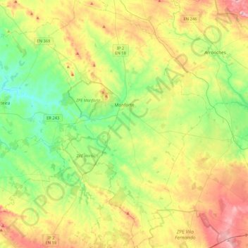
Name: Monforte topographic map, elevation, terrain.
Location: Monforte, Portalegre, Portugal (38.86492 -7.56811 39.19063 -7.29796)
Average elevation: 300 m
Minimum elevation: 172 m
Maximum elevation: 513 m
Make a donation
Gear up for your next adventure:
As an Amazon Associate, this site earns from qualifying purchases at no extra cost to you.
Other topographic maps
Click on a map to view its topography, its elevation and its terrain.
Marvão
Portugal > Portalegre > Santa Maria de Marvão
Ville fondée au I siècle appelée Ammaia à l'époque romaine. Elle doit son nom actuel aux Maures, vers le IX siècle, la forteresse d'Amaia-o-Monte est devenue Amaia Ibn Maruan, qui vient du nom de Ibn Marwan. Lors des querelles ethnique, ce dernier prendra refuge avec des populations entières de…
Average elevation: 557 m
Make a donation
Gear up for your next adventure:
As an Amazon Associate, this site earns from qualifying purchases at no extra cost to you.