Geolocate

Pangpang topographic map

Click on the map to display elevation.

About this map

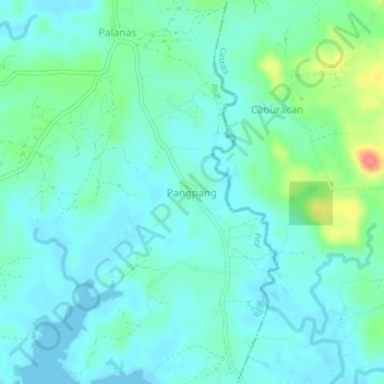
Name: Pangpang topographic map, elevation, terrain.

Location: Pangpang, Pilar, Sorsogon, Bicol Region, Philippines (12.88612 123.72426 12.92612 123.76426)

Average elevation: 15 m

Minimum elevation: -2 m

Maximum elevation: 69 m

Gear up for your next adventure:

👖Convertible Hiking Pants - Zip-off legs to adapt to changing weather conditions
🥾Trekking Poles - Adjustable trekking poles to reduce knee stress and improve stability
🧭GPS Handheld Device - Reliable GPS navigation for outdoor adventures
💧Hydration Pack - Hands-free hydration system for long hikes
🧭Orienteering Kit - Tools for map reading and navigation in the wild

As an Amazon Associate, this site earns from qualifying purchases at no extra cost to you.