
Gandia topographic map
Interactive map
Click on the map to display elevation.
About this map
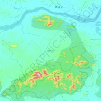
Name: Gandia topographic map, elevation, terrain.
Location: Gandia, Dhenkanal District, Odisha, 759014, India (20.62290 85.62809 20.87970 85.95064)
Average elevation: 86 m
Minimum elevation: 19 m
Maximum elevation: 625 m