Geolocate

Cervignano d'Adda topographic map

Click on the map to display elevation.

About this map
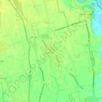
Name: Cervignano d'Adda topographic map, elevation, terrain.

Location: Cervignano d'Adda, Lodi, Lombardy, Italy (45.36144 9.40913 45.38627 9.45162)

Average elevation: 89 m

Minimum elevation: 77 m

Maximum elevation: 94 m

Gear up for your next adventure:

🥾Hiking Gaiters - Protect legs and shoes from mud, snow, and debris
🦟Insect Repellent - Keep mosquitoes and black flies away in wooded areas
🥾Trail Hiking Socks - Comfortable socks to prevent blisters and fatigue
🧼Biodegradable Camp Soap - Environmentally friendly cleaning for gear and body
🥾Trekking Boots - Durable boots for long-distance trekking

As an Amazon Associate, this site earns from qualifying purchases at no extra cost to you.