
后寺河 topographic map
Interactive map
Click on the map to display elevation.
About this map
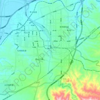
Name: 后寺河 topographic map, elevation, terrain.
Location: 后寺河, 巩义市, 郑州市, 河南省, 中国 (34.69113 112.97674 34.78481 113.03606)
Average elevation: 219 m
Minimum elevation: 104 m
Maximum elevation: 660 m