
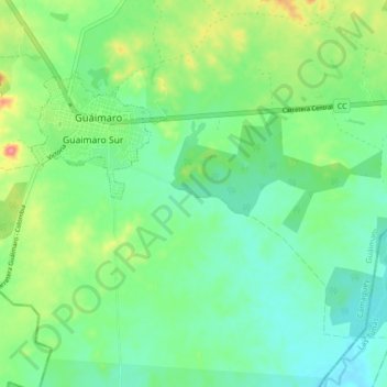
Guáimaro topographic map
Interactive map
Click on the map to display elevation.
About this map
Name: Guáimaro topographic map, elevation, terrain.
Location: Guáimaro, Camagüey, Cuba (20.99902 -77.34951 21.07823 -77.29931)
Average elevation: 80 m
Minimum elevation: 55 m
Maximum elevation: 135 m
Other topographic maps
Click on a map to view its topography, its elevation and its terrain.